Skeleton Gorge. Our hikes are always planned carefully, and when we set out to climb up, we carefully do the searches on Google and predownload the map from All Trails. No surprises, because hiking isn’t easy and detours take you somewhere you don’t want to be. If you’d like to try this route out for yourself, here is the map on Google and AllTrails.
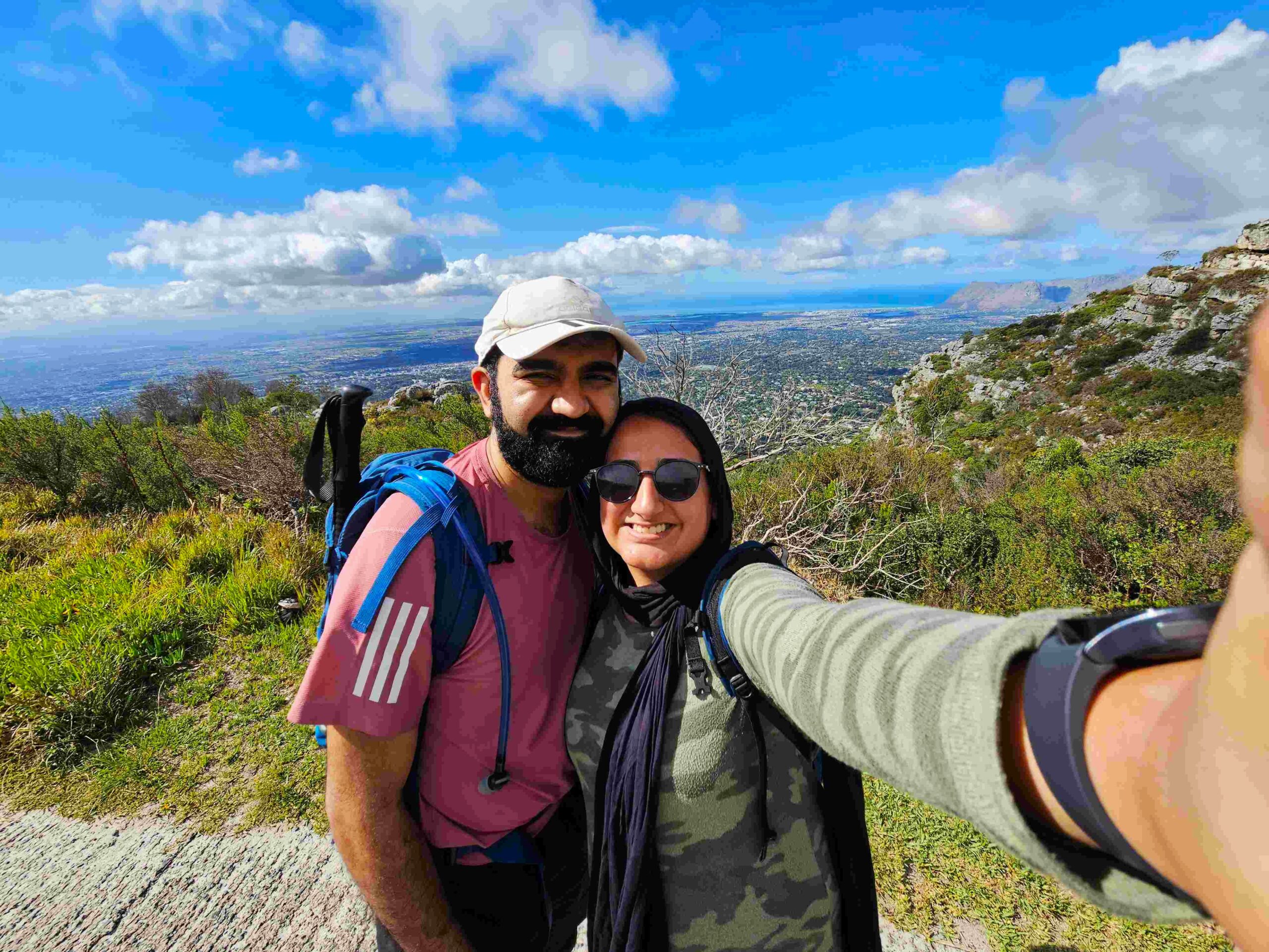
Actually, scratch that, because hiking is about detouring and enjoying the paths that meander towards the summit and move you to different places. This hike was exactly that! There was hardly enough information online except on where we could start. Armed with a few instructions and a will to do Skeleton Gorge after 6 months of saying we will do it, we arrived at the Cecilia Forest parking in the early hours of Holy Saturday. We started climbing and asking people for instructions. We were warned that doing it on that day wasn’t a good idea because it had rained the day before, but we chose not to heed the advice and thank god we didn’t. You can watch what to expect here!
Finding Our Way to Skeleton Gorge + Difficulty
For the first bit, you climb the stairs right after the Cecilia Forest board, continue climbing when you reach the four way stop. After the initial climb, we reached the lower contour path. Here we took a right and started walking in the direction of no light with forestation surrounding us. A gloomy place to be. But soon the light was back, and we could see the thin path on the left that guided us to the upper contour path. This doesn’t look like a real path, but it is. From there on, we took a right again with the path mostly flat and steady for another 30 mins, where we reached the Kirstenbosch Gardens signs directing us to the Skeleton Gorge. After this, the directions are fairly straightforward. You’ll encounter a lot more people hiking here because they do the Skeleton Gorge track alone, not starting from Cecilia.
This is by far the hardest patch, coming in after 2 kms of hiking. For another 1 km, the steep climb begins. Firstly, you will need to make your way through stairs, before climbing ladders, and then scrambling up large rocks. There is another climb of 15-20 mins after this of stairs and rough terrain before you reach Skeleton Gorge. Enjoy this path because the views of the city are breathtaking here. When we reached Skeleton Gorge, we didn’t realise it because it is basically a point that isn’t marked, so it felt quite anticlimactic.
Choosing your way down
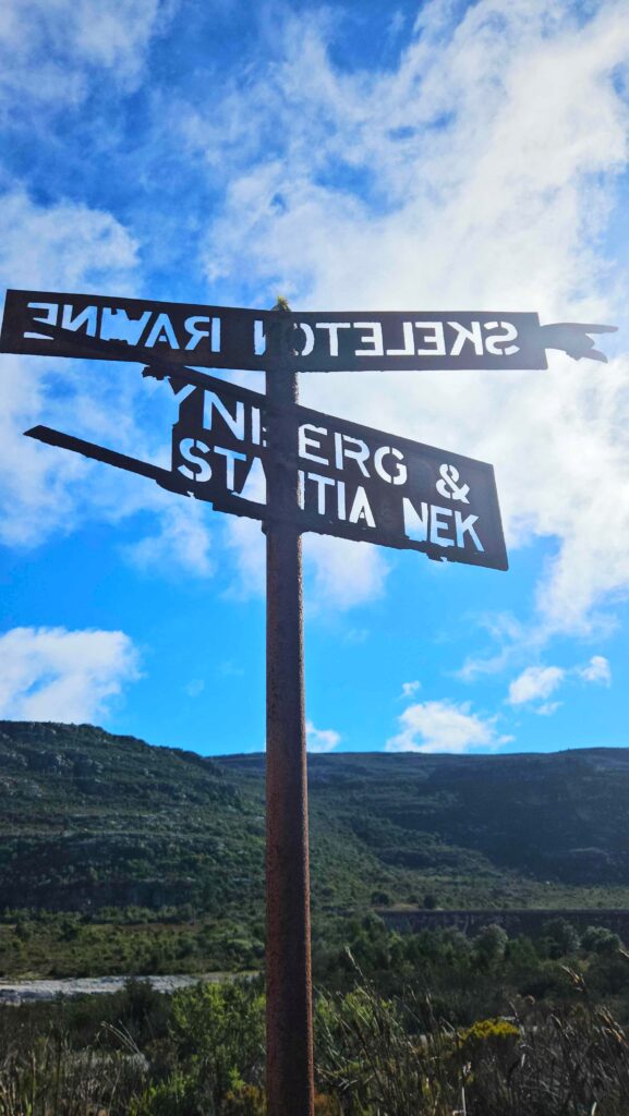
At this point, you have a few choices. You can make your way to Maclear’s Beacon, you can climb through Nursery Ravine, or you can take the Constania Nek path. We decided to pass through the Nek and made our way towards the Helly Hutchinson dam. Disturbingly, it was running empty, and we were back at the apocalyptic scare of running out of water again in Cape Town. Okay, let’s worry about that another day. Since the levels were so low, we cut through the dam and reached the other side, where the signs of the Constania Nek path were clear. The other option here would be to pass via Nursery Ravine to Constantia Nek.
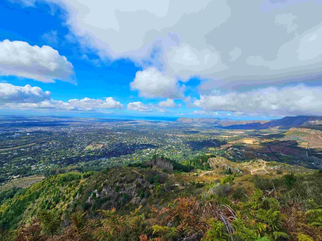
The Constantia route was simple and straight, mostly flat at the beginning for 20 minutes before descending downwards. If you want to reduce the load on your knees, we suggest carrying hiking poles. We were on this path for 1 hour, meandering through the beautiful rocks and huts formed at the top. Initially, we thought we would complete the hike this way, but decided to take another detour via Cecilia waterfall. Descending this path is much easier as it has a more gradual decline, unlike Constantia Nek. While you won’t pass the waterfalls, the views are still ecstatic. You will eventually merge back onto the lower contour path, where you can make your way down to the parking lot.
If you’d like to try this route out for yourself, here is the map on Google and AllTrails.
Want more hiking or travel guides? Follow us @afor_adventures, check out our itineraries, or subscribe to our blog.
#Cape Town hikes #Cecilia Forest #Constantia Nek #Hiking Cape Town #Nature travel #Outdoor adventures #Skeleton Gorge #South Africa hiking #Table Mountain #Western Cape hiking
 Things to do in Johannesburg: Why live theatre needs to be on your list
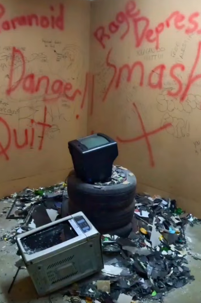 Rage Room Cape Town: the Rage Town experience you didn’t know you needed
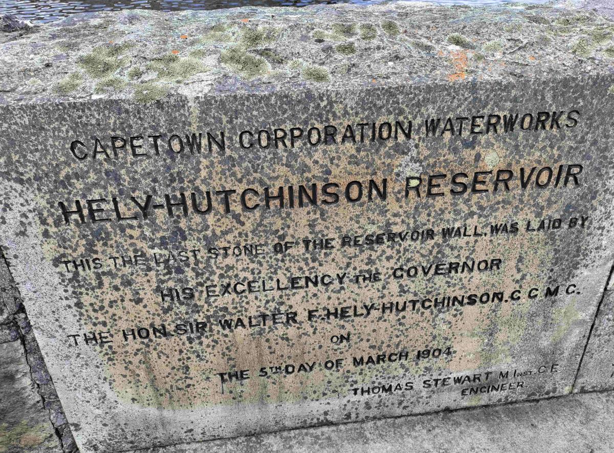 Helly Hutchinson hike/Avenue trail Camps Bay: the hidden hike Cape Town doesn’t talk about enough
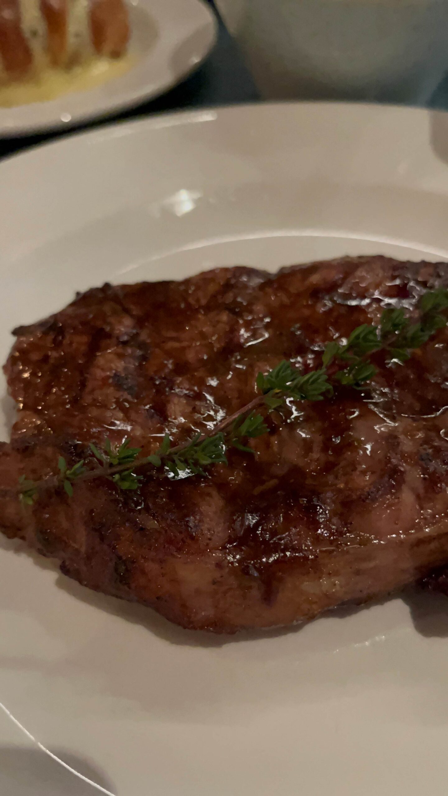 NV-80 Sea Point Grill and Bar: the Cape Town steakhouse worth the splurge
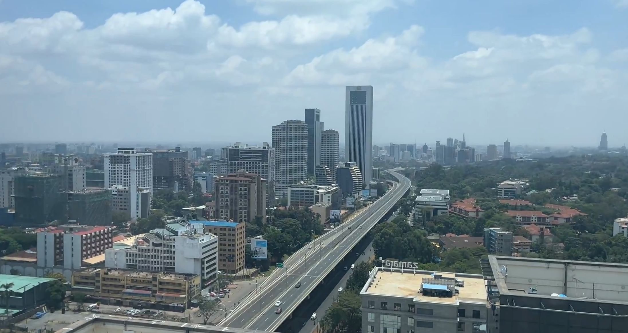 Tallest Building Nairobi Viewpoint: INTI has stunning views
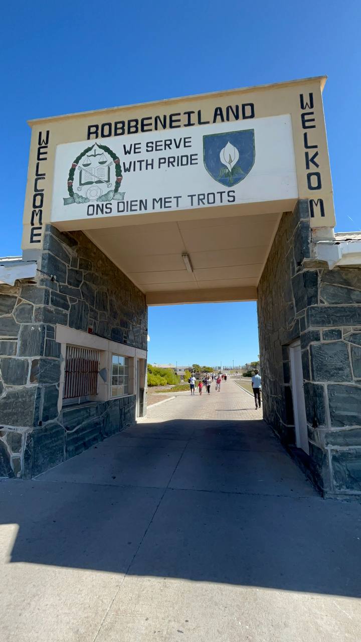 Robben Island Cape Town: why every visitor should make time for this tour
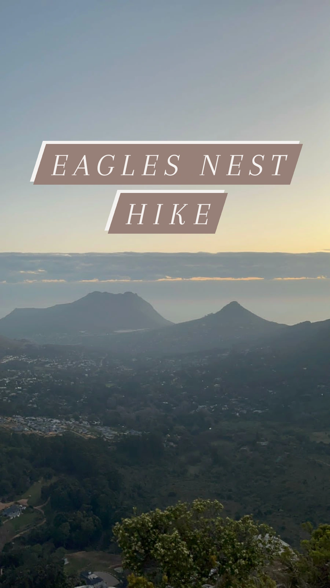 Eagle’s Nest trail Cape Town: the Constantia Nek hike that’s harder than it looks (and worth it)
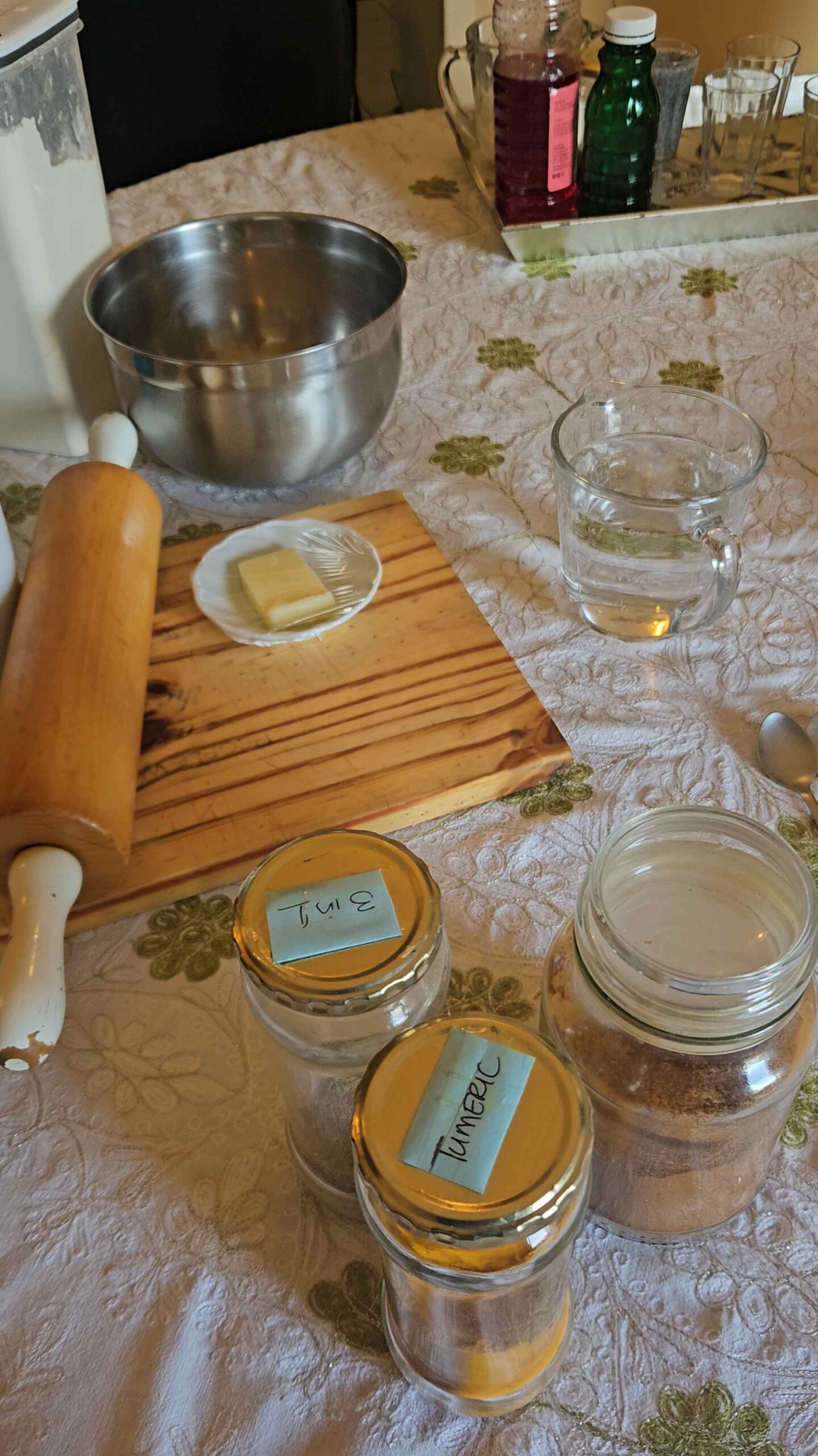 Cape Malay cooking experience Cape Town: the most homey half day you’ll spend in the city
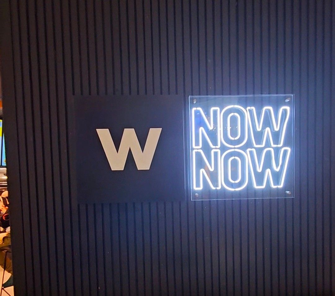 Woolies Now Now Cape Town: we tried it so you don’t have to guess
 A4 Arts Foundation Cape Town: the free arts space worth stumbling upon on Buitenkant Street